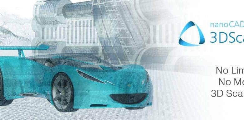
nanoCAD 3DScan
nanoCAD 3DScan is a specialized software application designed to work with 3D scanning data, primarily 3D laser scanning data (LIDAR), based on the nanoCAD CAD platform.
Using nanoCAD 3DScan, you can analyze and process large amounts of 3D scanning data (point clouds), such as: nanoCAD 3DScan features:
-import of cloud points from popular exchange formats (LAS, BIN, PTS, PTX, PCD, XYZ);
-processing: filtration based on different criteria;
-registration marks imported from external sources;
-registration by marks and manual binding;
-quality control of point cloud registration;
-optimized data storage with meta-information (points classification, measurement parameters, scanned color), implemented with stochastic spatial trees technology;
-a wide range of visualization methods and the possibility of photorealistic mapping, display variety with multiple viewports supported;
-construction of cross-sections, assigning view areas, support for dynamic sections;
-integration of point clouds into the nanoCAD drawing environment;
-semi-automatic and manual data filtering;
-manual and semi-automatic classification tools;
-automatic identification of ground surface data;
-creation of triangulation models, including digital elevation model (DEM);
-semi-automatic and manual vectorization;
-measurements of lengths and areas;
-direct volumes calculation on point clouds data and project surfaces.
Download size: 534 MB
Download the software nanoCAD 3DScan v1.0.3744.2221
Password: softsaaz.ir